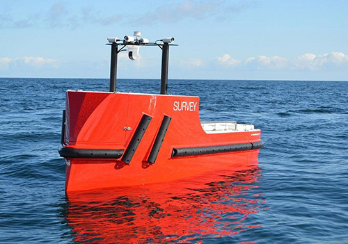
Hydro-graphic Survey
We are leading service provider of Hydro-graphic Survey Global Positioning Services. We use advance navigation and data acquisition system and processing software for preparation of charts, carrying out all types of Hydro-graphic survey for the following categories:
- Bathymetric surveys
- Rivers & Lake/Reservoir surveys
- Port & Harbours surveys
- Dredging surveys
- Geophysical Surveys
- Diving Support — Positioning Service
- Offshore construction projects
- Positioning Services — Rig and Barges
- Route survey
- Shallow water Oceanography
Differential Global Positioning Services
Using a range of GPS receivers, PESPL is able to establish control points on land to the few Millimeter level of accuracy by using static differential techniques. PESPL offers UHF/HF linked Differential Global Positioning Service (DGPS) to Positioning accuracy of sub meter for:
- Vessel navigation and offshore surveys
- Rig positioning, offshore vessels and barge positioning
- Land surveys and GIS (Geographical Information System) application surveys
- Vessel management services
- Navigation assistance and pilotage for vessel movement in and out of ports/harbor
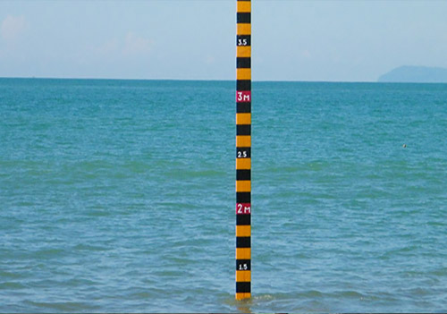
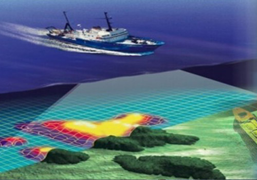
Bathymetry
- Depth measurements
- Volume estimation
- Dredging monitoring surveys
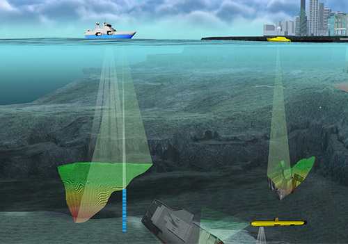
Sonar Imaging
- Cable and pipeline route identification
- Fallen objects / debris and lost anchor recovery
- Seafloor imaging
- Seabed sediment distribution
Sub-Bottom Profiling
- Delineation of sediment layers
- Buried pipeline / objects
- Subsurface geology
Oceanographic Surveying
- Ocean current measurements
- Tide measurements
- Wave measurements
- Physical and chemical parameters of seawater
- Site Assessment
Underwater Services
- Diving inspection
- ROV
- Underwater Photography / Videography
Coastal Engineering Consultancy Services
- Designing of intake and outfall pipeline
- Shoreline monitoring
- Construction of coastal structures like Jetty, Groins, Sheet Piling, etc.